
Wingecarribee Shire Council advises the community that the Bush Fire Prone Land map
for Wingecarribee Shire has been updated and is now in effect, following certification by
the NSW Rural Fire Service (RFS) Commissioner.
Every Council in NSW is required by legislation to map bushfire prone land in accordance with the NSW RFS Guide for Bush Fire Prone Land Mapping.
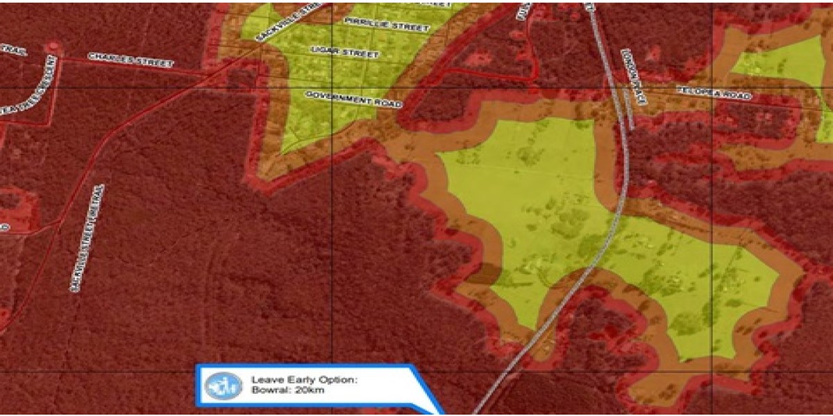
The new map replaces the 2011 Bush Fire Prone Land Map and introduces Vegetation
Category 3. This is a medium-risk category that classifies unmanaged grasslands and
pastures as bush fire prone.
Certified on 15 July 2025, the revised map is now used to assess all relevant development applications, including those lodged but not determined before that date, to ensure adequate bushfire protection.
NSW RFS Superintendent Daniel Osborne said the revised map plays a vital role in
community safety planning.
“The updated Bush Fire Prone Land Map is an important tool to ensure that new
development is planned and built in such a way that enhances the safety of residents and buildings from bush and grass fires whilst still enjoying the landscape and natural beauty of the area,” said Superintendent Osborne.
Wingecarribee Shire Council General Manager Lisa Miscamble also emphasised the
importance of the revised map in supporting responsible planning and community safety.
“We know how important it is to protect our community, property and the environment
from bushfires,” Ms Miscamble said.
“This updated map is a critical tool to ensure appropriate development in at-risk areas
across Wingecarribee Shire.
“Being newly mapped as bush fire prone does not prevent development or require changes to existing buildings. It only affects property owners planning new developments, such as building, renovating, or starting a home-based business,” she said.
All new development on bush fire prone land must comply with Planning for Bushfire
Protection 2019, which sets mandatory safety standards for planning and construction.
An interactive mapping tool will be available on the NSW RFS website within four weeks
and on the NSW Planning Portal in approximately four to six weeks. In the interim, please use Council’s temporary online mapping tool to check if your property is on bush fire prone land.