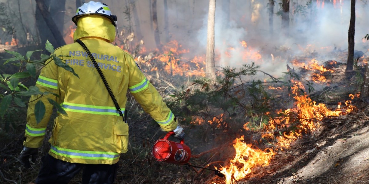
National Parks and Wildlife Service (NPWS) will be conducting multiple hazard reduction burns within Jervis Bay National Park from Friday 1 May to Sunday 3 May, weather permitting.
Three burns are planned over the coming days, covering approximately 52 hectares.
The hazard reduction burns aim to protect the community and the public by reducing the spread of potential bushfires within Jervis Bay National Park.
Smoke will be visible across the surrounding area, including nearby towns and villages such as Huskisson, Vincentia and Erowal Bay.
Public access to affected areas will be closed, including all tracks and trails within and surrounding the burn areas. These will be reopened once they have been assessed as safe.
Traffic management will be in place on roads adjacent to the burn areas to manage smoke impacts and ensure public safety. This includes:
- Huskisson: Huskisson Road and Owen Street
- Vincentia: Naval College Road, The Wool Road, and Jervis Bay Road
- Erowal Bay: Naval Parade and Kallaroo Road
Drivers and cyclists are reminded to take care if visibility is reduced by smoke.
Current stable weather conditions present an opportunity to carry out hazard reduction burning in the park ahead of forecast rainfall.
People with known health conditions can sign up to receive air quality reports, forecasts and alerts via email or SMS from the Department of Climate Change, Energy, the Environment and Water.
For health information relating to smoke from bushfires and hazard reduction burns, visit NSW Health or Asthma Australia.
More information on hazard reduction activities is available at NSW Rural Fire Service and the NSW Government’s Hazards Near Me website and app.


